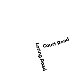
69 BIRCH RD
Owner Information
RICH BRIAN J
69 BIRCH RD
WINTHROP, MA 02152


Property Details
69 BIRCH RD is classified as a Single Family Residential (Old style).
The primary structure on this property was built in 1900. There are 4,435ft2 of built area within this property. There is 2,376ft2 of residential/living space within this property.
69 BIRCH RD is valued at $607,400. The land is valued at $282,500 and the structures are valued at $324,900.
The most recent deed for 69 BIRCH RD is recorded at the local registrar in Book 47822, Page 222. 69 BIRCH RD was last sold on Tuesday, April 19, 2011 for $355,000.
Assessment data from fiscal year 2019.
Flood Data
According to the FEMA National Flood Hazard Layer, this property does not appear to be in a flood zone. It may also be in an area not yet reviewed. Nonetheless, confirm this information prior to taking any action.
To view the flood hazards around this property, create a FEMA "Firmette" Map of the area around 69 BIRCH RD.
Broadband Internet Providers
| Provider | Type | Bandwidth (mbps) | |
|---|---|---|---|
| Verizon New England Inc. | DSL | 15 | 1 |
| VSAT Systems, LLC. | Satellite | 2 | 1 |
| HughesNet | Satellite | 25 | 3 |
| GCI Communication Corp. | Satellite | 0 | 0 |
| T-Mobile | Fixed Wireless | 25 | 3 |
| Comcast | Cable | 1000 | 35 |
| Viasat Inc | Satellite | 100 | 3 |
Broadband service provider data from December 2020.
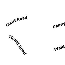
Adjacent Properties
- 56 COURT RD
Two-Family Residential owned by DUPLIN PATRICIA - 61 BIRCH RD
Single Family Residential owned by POULOS JONATHAN D - 60 COURT RD
Two-Family Residential owned by SUTFIN JAMES C. TR. - 64 COURT RD
Single Family Residential owned by FAMIGLIETTI JEAN M - 71 BIRCH RD
Single Family Residential owned by BEATTIE BRIAN J